Conservation Planning & Initiatives
TLC partners with local, state, and federal agencies as well as other organizations to guide comprehensive conservation strategies.
While planning may not be glamorous or easy to showcase, it’s the essential behind-the-scenes work that makes visible, high-impact land protection projects possible. To focus our efforts, TLC has identified specific landscapes in the region as high priority—special areas that provide vital benefits like clean water, natural habitats, thriving local farms, and meaningful places for people to connect with nature.
Jordan Lake One Water (2019)
One of the best ways to protect drinking water is by conserving upstream lands like forests, wetlands, and fields that naturally filter rainwater. The Jordan Lake Watershed Conservation Strategy uses science and GIS data to identify high-priority areas for land protection and guide strategic investments in water quality.
The Watershed Protection Program for the Upper Neuse (2006)
Formerly called the Upper Neuse Clean Water Initiative (UNCWI), the Watershed Protection Program for the Upper Neuse is a partnership effort to prioritize and protect those lands most critical for the long-term safety and health of all drinking water supplies for the communities in the Upper Neuse River Basin. In addition to providing our community with clean water, land in this region is also known for working farmland and the gorgeous rolling beauty of the surrounding countryside.
Deep River Plan (2001)
TLC created a conservation management plan to recognize the immense value of the Rocky and Deep Rivers and develop strategies to protect their integrity in a changing landscape. We asked local government, state and federal agencies, and community members working in the area to weigh in on how conservation can maximize its impact. Pairing this insight from our partners with results from a series of spatial models, we made recommendations for long-term conservation success. Generous support for this effort was provided from The Conservation Fund and the US Fish and Wildlife Service.
Chatham Working Lands (2011)
The Silk Hope area in northwest Chatham County has supported farming for over a century, with generations of farmers producing for both local and regional markets. Known for its prime soils, scenic views, and strong agricultural community, the area attracts both farmers and non-farmers alike. TLC works with local growers to conserve this critical farmland through tools like conservation easements, with a goal of protecting over 1,500 acres.
Eno-New Hope Landscape Conservation Plan (2019)
The Eno-New Hope Landscape Conservation Plan focuses on the critical importance of habitat connectivity for wildlife in the Eno River and New Hope Creek watersheds in Chatham, Durham, Orange, and Wake counties. It was produced in collaboration with local governments, conservation groups, universities, and ecologists. The Landscape Plan is a Partners for Green Growth project funded by the North Carolina Wildlife Resources Commission and Orange County, NC, and administered by the North Carolina Botanical Garden Foundation, Inc.
Johnston County Farmland
Johnston County has a deep agricultural history and a diverse landscape of farms, forests, and growing urban centers. These working lands support local economies, wildlife, and environmental health. Rapid population growth, however, threatens their future. TLC, in partnership with CTNC, is using agricultural mapping to identify high-priority farmlands, with Johnston County emerging as a key focus. Our goal is to expand conservation in the area, especially through protecting farms and forests with easements.
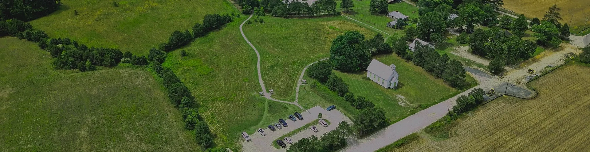
Marks Creek (2001)
Marks Creek, just 10 miles from Raleigh, includes over 7,500 acres of largely undeveloped land with historic homes, active farms, wetlands, forests, and scenic rural views. The watershed contains sites on the National Register of Historic Places and features natural assets like Lake Myra and the 19th-century Oaky Grove Methodist Church. Designated a “Last Chance Landscape” by Scenic America, the area faces growing development pressure. TLC is working with partners to protect this vital landscape through conservation and regional trail connectivity.
Neuse River Lowgrounds (2010)
South of Smithfield, the Neuse River Lowgrounds—also known as the “Let’Lones”—span 36,000 undeveloped acres across a four-mile-wide floodplain. This roadless wilderness contains mature cypress forests, sloughs, oxbows, and critical wetland habitat for black bear, bobcat, fox squirrel, and neotropical birds. The area also plays a vital role in filtering stormwater before it reaches downstream communities. Identified by the State as a potential site for a new park, the Lowgrounds face ongoing threats from clearcutting, making conservation efforts urgent.
New Hope Creek (1991)
New Hope Creek, located between the rapidly growing cities of Durham and Chapel Hill, stretches from rugged, forested upper reaches in Duke Forest to a slow-moving floodplain stream feeding Jordan Lake, a key regional drinking water source. Despite urban development nearby, the creek remains largely clean and forested, supporting diverse wildlife and recreational opportunities. Conservation efforts focus on protecting this green corridor, connecting preserves, and developing over 18 miles of trails to maintain New Hope Creek’s ecological and community value.
Conservation Plans & Tools
Local Plans
- Southwest Shore Conservation Assessment (2008): A wilderness of more than 10,000 acres lies along the southwest shore of the Haw River and Jordan Lake in Chatham County. Dotted by the remnants of past settlement, this land is one of the largest, unfragmented areas in the Triangle and drains into Jordan Lake, the second largest drinking water supply for the region.
- Rocky River Watershed Conservation Assessment (2012): The Rocky River is 37 miles of beautiful pools and riffles resembling a mountain stream. Its headwaters in Alamance and Randolph counties flow southeast across Chatham County and empty into the Deep River at TLC’s White Pines Nature Preserve. Over 88% of the approximately 150,000-acre watershed is in Chatham County, and the area is home to many well-known tributaries including Bear, Love’s, Tick, Harlands and Landrum creeks.
Regional Plans
- Triangle GreenPrint: a partnership project to create a regional vision for protected open space in the Triangle. TLC is a lead partner in the project.
- State of Open Space Report: In April 2000, Triangle Land Conservancy released the region’s first-ever State of Open Space (SOS) report, a study that examined land use changes in the Triangle, inventoried protected open space, assessed conservation initiatives by governments and nonprofits, and recommended the region hire more full-time land conservationists and create a regional open space plan.
State Plans
- State Wildlife Action Plan: TLC references the NC State Wildlife Action Plan as a resource when developing management strategies and plans for newly protected lands. TLC also uses it as a conservation planning tool for identifying high priority conservation lands. The Snow Hill IV, Martin Property, and the Stone and Grizzle tracts in White Pines Nature Preserve all contain priority habitats and species as identified by the NC SWAP.
- NC Conservation Planning Tool: this tool uses maps and data to identify and prioritize important natural resources across North Carolina. It supports planning decisions by governments and conservation groups. TLC uses it to assess potential projects, and landowners can explore the environmental value of their own land.